Landsat Data successfully integrated into Sentinel Hub
The latest integration of archive and up-to-date data from the US Landsat satellites has successfully enriched Sentinel Hub for the satellite imagery from Landsat 5, 7 and 8. You can now access the high-quality data of Europe's land surfaces all the way back to 1984. Read more
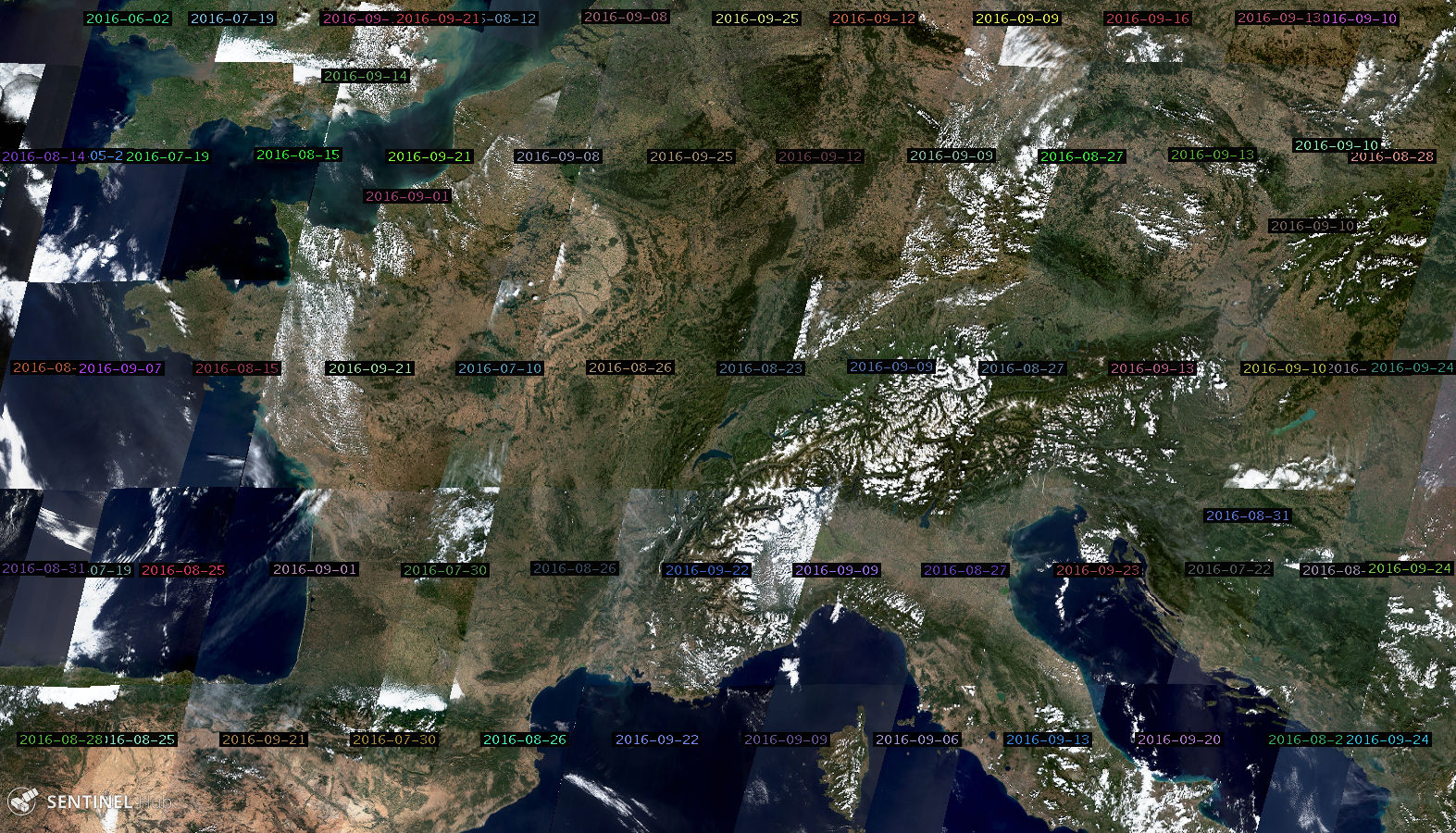
For easy access use our newest tool - EO Browser - which combines a complete archive of Sentinel-2, ESA’s archive of Landsat 5, 7, 8, and Proba-V products in one place. The project was completed in cooperation with European Space Agency (ESA).
Contact us for a trial account and get access to Landsat and Sentinel data or try it yourself.
The Sentinel-2 Mosaic Generator Winter Release
It was never easier to download Sentinel images.
The Mosaic Generator provides easy way to download Sentinel-2 products, which you can import into your favourite GIS tool for offline use. You simply define your area of interest, configure the visualization parameters that are used to display Sentinel-2 imagery and download the data for off-line use. We have gathered feedback from many existing users and added new features to make it even more useful.
Beside easier configuration you can now import KML and export the exact area of your choice, fine-tune rendering option parameters and different export formats (GeoTiff, JP2, etc.). You can even select more layers for final image generation. Get more details here...
Next mission - Automated detection of land changes
Sentinel Hub services are being used to observe and analyze Earth’s surface in various ways. For many of them it is required to find and evaluate changes between images of the same area taken in a different time periods. However the amount of imagery on Sentinel Hub available for users is massive. Looking for changes by hand can be time consuming and inaccurate. Therefore we are developing tools for automated detection of changes. Read more